
Marmara Region
20 Mar 2026
Camping in Marmara: Outdoor Photography Tips
Take your photography skills to the next level while camping in the unique nature of Marmara.
5 min read
6 views
Kampçı Editör Ekibi
Outdoor Writer @ Kampçı
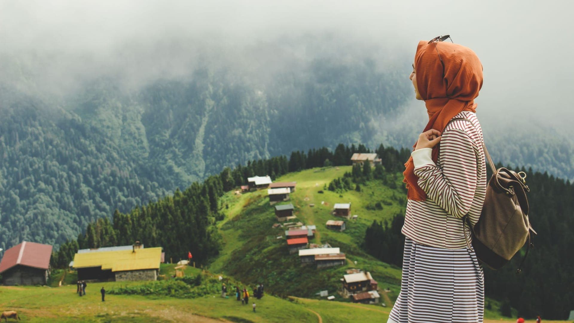
Long-distance trekking preparation has completely different dynamics than a standard weekend camping trip, especially in rugged, isolated, and high-altitude regions like Eastern Anatolia. While the intermediate experience you've gained on popular coastal trails like the Lycian Way or Carian Trail is valuable, the East's harsh winds, scarce water sources, and high altitude demand that you take your planning to the next level. On a multi-day expedition, every gram of gear you carry must serve a purpose, and your mental toughness must match your physical fitness.
The Eastern Anatolia region has the highest average altitude in Turkey. This directly affects not only the climbing gradient but also how your body functions. Since the average altitude on Eastern Anatolian routes is over 2,500 meters, the body's oxygen consumption capacity drops by 15% to 20% compared to sea level. This decrease causes you to fatigue faster, accelerates fluid loss, and slows down your digestive system.
Additionally, temperature fluctuations in the region are extremely sharp. Thermometers that hit 30 degrees Celsius under the sun during the day can rapidly drop below freezing once the sun sets. Therefore, the layered clothing system in your backpack and the temperature ratings of your sleeping bag must be much more technical than those used on coastal routes.
During a Munzur Mountains crossing or long hikes at the foothills of Mount Süphan, water sources may not be as reliable as they appear on the map. Seasonal drying or streams contaminated by livestock activities can disrupt your water planning. You should always carry a physical topographical map and up-to-date GPS data (like Gaia GPS or similar). When calculating the distance between two water sources, you must estimate the time by factoring in the elevation gain.
In long-distance hiking, the concept of "calorie density" comes into play. The energy provided by the food you carry must be high relative to its weight. Foods like nuts, dehydrated meals fortified with olive oil, and peanut butter should be preferred. Assuming you will burn an average of 3,500-4,500 calories a day, create a lightweight yet nutritious menu.
Ground insulation is more important than the sleeping bag itself. Use a sleeping pad with an R-Value (thermal resistance) of at least 3.5 or 4.0. As for clothing, stay completely away from cotton. Merino wool base layers are indispensable for long hikes as they wick moisture away from the body while remaining odor-free.
Here are some technical details that will save your life and increase your comfort in the field:
The biggest mistakes intermediate campers make when transitioning to long-distance routes are usually related to weight and pacing.
The region is one of the richest areas in Turkey in terms of wildlife. The population of brown bears, wolves, and wild boars is dense. Never keep your food inside the tent at the campsite. Hang your food and scented items (including toothpaste) on a tree branch out of bears' reach, at least 100 meters away from your tent (the bear bag method).
Communication is another vital point. Due to the depth of the valleys in Eastern Anatolia, cell phone signals can be lost for days. Carrying a satellite-based communication and SOS device like the Garmin inReach is not a luxury but a necessity on such isolated routes.
1. Your Feet Are Your Most Important Asset: It is essential that your boots are broken in beforehand. Apply a protective cream to your feet every morning before setting off, and stop to tape them the moment you feel any friction.
2. Weight Equals Fatigue: On long-distance hikes, comfort should be sought while walking, not in the tent. A lightweight backpack allows you to maintain your balance on rough terrain and hit your planned daily mileage.
3. The Climate is Always Right: You cannot fight nature. When the weather turns bad or fog rolls in, do not stubbornly push forward. Taking shelter in a suitable spot and waiting it out is much safer than taking a wrong ridge and getting lost.
Due to the high altitude in the region, snowmelt takes a long time. The safest and most comfortable hiking window is generally between late June and mid-September. Even during these months, you should be prepared for overnight frosts.
For an intermediate camper, the base weight (excluding food and water) should be between 6-8 kg. When water and a few days' worth of food are added, it is ideal for the total weight not to exceed 12-15 kg.
Set up your cooking area at least 50 meters away from your tent. Place all food and scented items in odor-proof bags and hang them on a high tree branch 100 meters away from your tent.
Since livestock farming is common in Eastern Anatolia, the risk of bacteria in water sources is high. You should first pass the water through a 0.1-micron filter, and in suspicious cases, consume it by adding a water purification tablet or boiling it.
Severe headache, nausea, loss of appetite, and extreme fatigue are the most common symptoms. When these symptoms appear, the ascent must be stopped immediately, and if the symptoms persist, you should descend to a lower altitude.
Long-distance trekking on the wild and isolated routes of Eastern Anatolia is as much a mental purification process as it is a physical challenge. Reaching the glacial lakes of Munzur or experiencing days of silence at the foothills of Süphan is the reward of a meticulous preparation process. Lighten your pack, study your route carefully, and sync your steps with the rhythm of nature. When you set out with the right knowledge and gear, the harshness of this geography will give way to a deep respect and a lifelong sense of self-confidence.
Related guides and stories from the outdoor world
Take your photography skills to the next level while camping in the unique nature of Marmara.

Advanced photography techniques to turn your camping memories into works of art, alongside a guide to keeping your gear safe in the wild.

A guide to reading topographic maps and navigating with a compass for intermediate campers.

A strategic route guide for intermediate athletes combining running and camping on the steep trails of the Southeast.