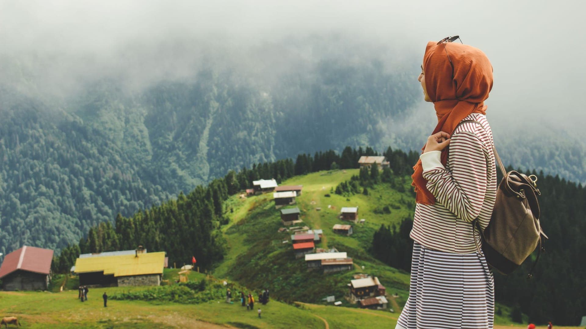
While the sharp, refreshing scent of pine needles fills your nose, watching the signal bars on your phone screen melt away one by one is a cause for panic for most novice campers. However, for intermediate campers like you, who are used to feeling the weight of a backpack on their shoulders and keeping up with the rhythm of nature, this is the exact moment the real adventure begins. Electronic devices run out of battery, and GPS signals get lost in dense forest canopies or deep canyons. In these very moments, using a map while camping is not just a skill, but the fundamental key to speaking the same language as nature. The rustle of that paper map you pick up in the early hours of the morning, while dewdrops are still resting on your tent, tells you not only the way to go but also the secrets whispered by the surrounding mountains, valleys, and rivers.
Why is Using a Map While Camping Crucial?
Carrying a physical map in the digital age might seem like a nostalgic choice to some. But a freezing screen in the steep cliffs of the Aladağlar or the suddenly foggy plateaus of the Kaçkar Mountains turns into a life-threatening risk. Using a map while camping gives you a bird's-eye x-ray of your surroundings. A digital map on your phone merely says, 'You are here.' In contrast, a well-read topographic map tells you, 'A steep climb will begin in two kilometers, there will be a dried riverbed on your right, and you are only one hill away from reaching that wind-sheltered flatland to set up camp.' This means sensing the terrain in advance and planning your energy, water, and time accordingly.
Decoding the Language of Topographic Maps
As an intermediate camper, if you no longer want to settle for just following trails but want to chart your own route, you need to know the language of topographic maps inside out. These maps are flawless ciphers that transfer three-dimensional landforms onto a two-dimensional piece of paper.
What Do Contour Lines Tell You?
Those curvy, brown lines on the map are not just aesthetic details. Contour lines that are close together scream that there is a breathtakingly steep slope or cliff ahead of you. If your camping load is heavy, you will understand that you need to avoid these tightly packed lines. As the distance between the lines widens, you realize you are approaching flatlands or gentle slopes where your steps will ease, making them ideal for pitching a tent. V-shaped contours indicate water-eroded valleys or riverbeds, while U-shaped contours point to ridges. Transforming these lines into a three-dimensional mountain in your mind while looking at the map is the greatest skill of a master camper.
Calculating Scale and Distance
Knowing how many meters a centimeter on the map corresponds to in nature is the only scientific answer to the question, 'Are we there yet?' A 1:25,000 scale map is the gold standard for hikers and campers. At this scale, 1 centimeter on the map equals 250 meters in reality (or 4 cm = 1 km). After measuring the distance between two points with the ruler on the edge of your compass or a simple piece of string, you can calculate your arrival time using this scale. Remember, the map gives you the distance as the crow flies; the ups and downs of the topography will always extend this time.
Step by Step: Using a Map and Compass in Nature
Reading a map is the theory, and combining it with a compass is the practice. To find your way in the middle of a forest stretching as far as the eye can see or on a fog-covered plateau, you must turn the following steps into a reflex:
- Orienting the Map (Finding North): Before you start reading the map, you must align the map's north with the real world's north. Place your compass flat on the map. Rotate the map until the compass's direction arrow is parallel to the map's meridian lines. When the red magnetic needle points north, your map is now aligned with the terrain. The hill in front of you is right in front of you on the map as well.
- Determining Your Location (Triangulation): If you don't know where you are, you can't find where you're going. Find two prominent landforms around you that you can identify on the map (for example, a sharp peak and a lakeshore). Point your compass at the first target and take a bearing. Draw a line on the map in the opposite direction of the angle you took from that peak. Do the same for the second target. The point where these two lines intersect on the map is exactly where you are standing right now.
- Heading to the Target (Taking a Bearing): Draw a straight line on the map from your current location to the campsite you want to reach using the edge of your compass. Turn the compass dial until the orienting lines inside it are parallel to the map's north-south lines. Your work with the map is now done. Hold the compass in your hand and turn your body until the red needle sits inside the 'north' house. The direction you need to go is the direction indicated by the compass's travel arrow.
Map Reading Practices: Life-Saving Tips
There are some fine details you need to pay attention to when taking theoretical knowledge into the field, which can only be learned through experience. These tips ensure you don't leave things to chance in harsh weather conditions:
- Armor Your Map: You never know when nature will get fierce. A sudden downpour can turn your paper map into an unreadable mush in seconds. Always carry your map in a transparent, waterproof map case. Taking notes on the case with a whiteboard marker and drawing your route erasably provides great convenience.
- Account for Magnetic Declination: Map north (True North) and the north your compass points to (Magnetic North) are not the same place. For Turkey, this declination is an average of 5-6 degrees east. If you don't adjust for this declination on your compass during long-distance hikes, you could drift for kilometers and miss your target entirely.
- Constantly Verify Your Location: As you progress toward the campsite, don't just pull out the map when you get lost. Keep the map constantly alive in your mind by saying, 'There should be a riverbed on my right now,' or 'The slope will increase shortly.' Always verify your location on the map at prominent landmarks (a large rock, a fork in the trail).
- Use the Thumb Technique: Fold the map so that only the section you are walking on is visible. Place your thumb on your current location on the map. As you move forward, slide your thumb along your route. This way, you won't waste time searching for where you are every time you look at the map.
Safety Notes: Double Check Before Heading into Nature
Intermediate camping is full of carelessness traps brought on by overconfidence. Carrying a map and compass doesn't make you invincible; being able to use them correctly and having backup plans keeps you safe. Before setting out, make sure you have obtained the most up-to-date topographic map of the region. Old maps won't show newly opened forest roads, dried-up rivers, or newly formed landslide areas.
Also, don't completely reject digital technology. Offline maps downloaded to your phone and a power bank are an excellent Plan B in case your physical map blows away or gets destroyed. However, your primary navigation tool should always be that reliable piece of paper that doesn't require batteries and won't break when dropped. Finally, be sure to inform someone you trust back home about this wonderful route you're charting and your estimated return time.
With every step you take toward the heart of nature, there is nothing quite like watching the lines on that piece of paper transform into real mountains, valleys, and forests. Reading a map is translating a letter nature has written to you. Now, toss that map into your backpack, set your compass needle to north, and set off toward that desolate campsite you haven't dared to visit until today, charting your very own path!